Past Webinars
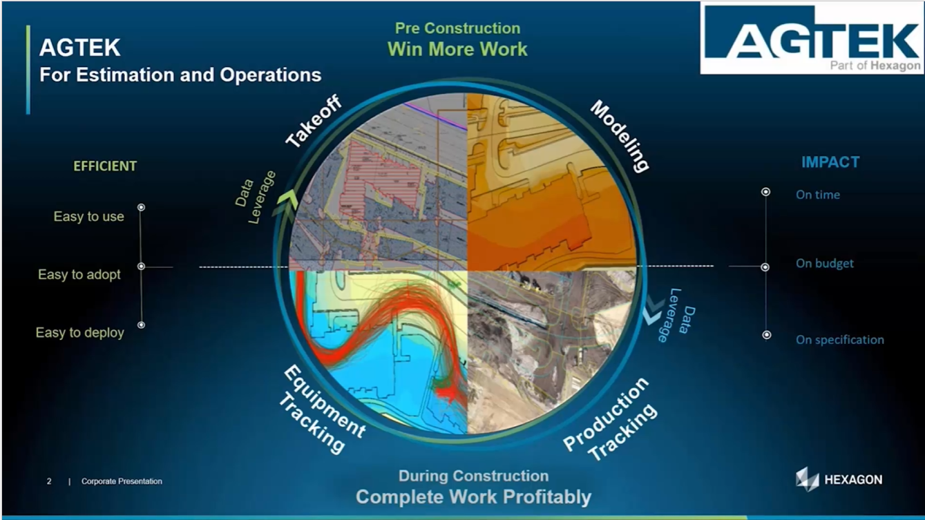
This webinar explores some of the most useful and often overlooked features in Gradework, Materials, and Underground. We will examine the practical application of new and existing features to enhance your current workflows. These tips will help you streamline, simplify, and empower in-depth analysis.
Watch the video here.
Watch how fast AGTEK’s takeoff tools can provide the answers you need to create competitive, winning bids while maintaining data control. In this webinar, we will complete a project from start to finish to showcase exactly what can be achieved in under one hour!
Watch the video here.
Discover how AGTEK's cutting-edge solutions empower contractors to win more work and mitigate risk in competitive markets by submitting superior bids. We will walk through the end-to-end workflow using simple-to-use, construction-focused tools that are fast, accurate, and complete.
Watch the video here.
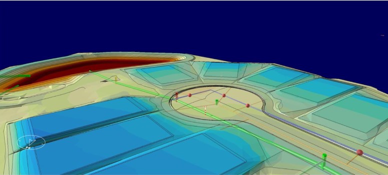
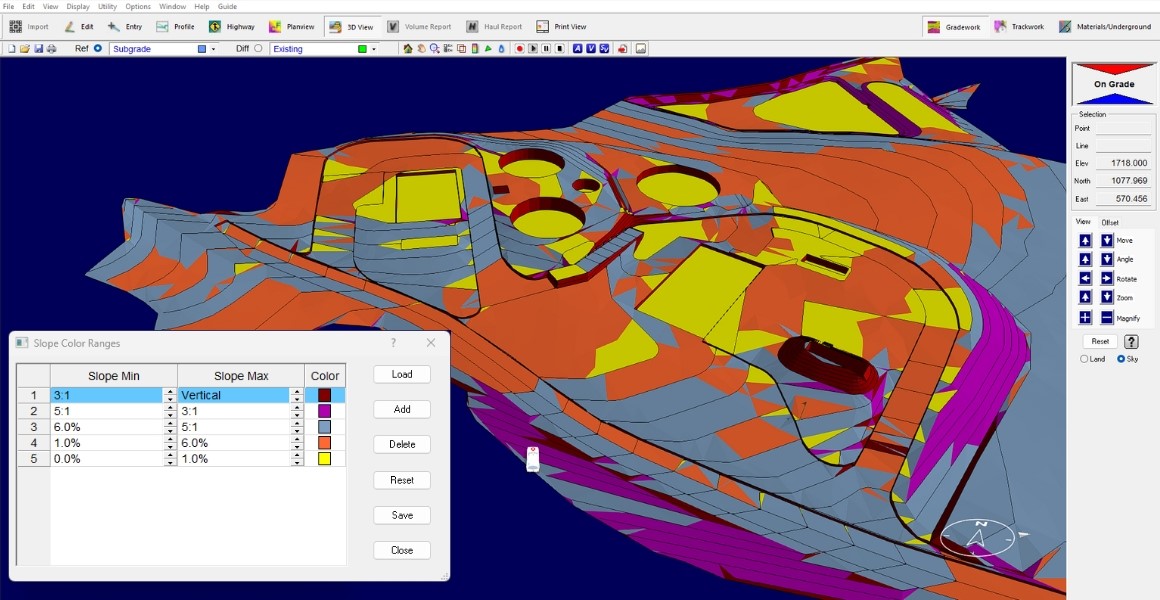
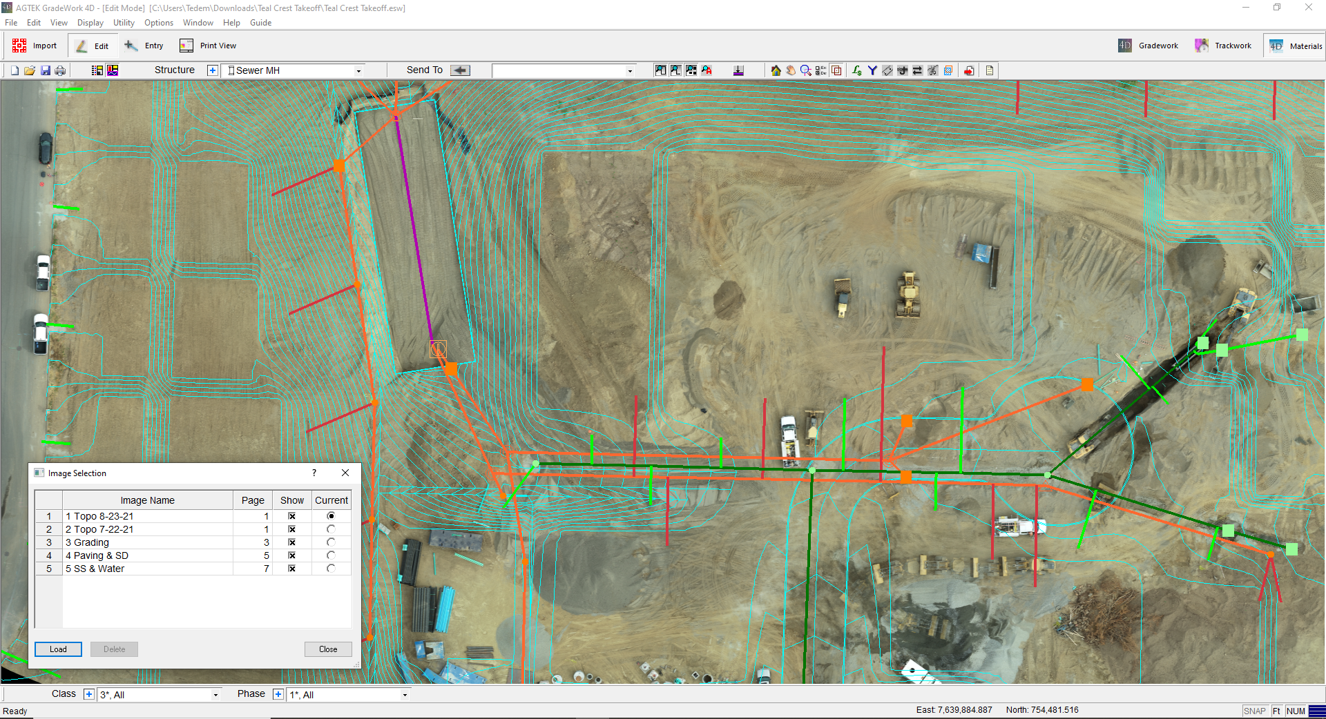
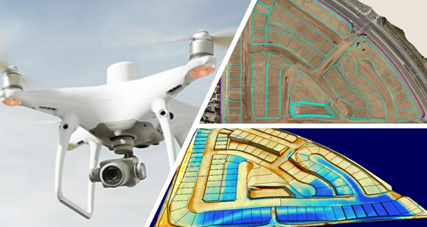
This webinar shows improved workflows and analysis tools for earthwork projects. We show how to do faster and more accurate takeoffs for paving and pipe. See how to analyze jobs based on slope data. We show how to get the most from drone data pre- and post-bid. We also show how to levarage the AGTEK knowledge base with ease.
Watch the video here.
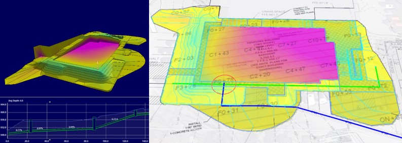
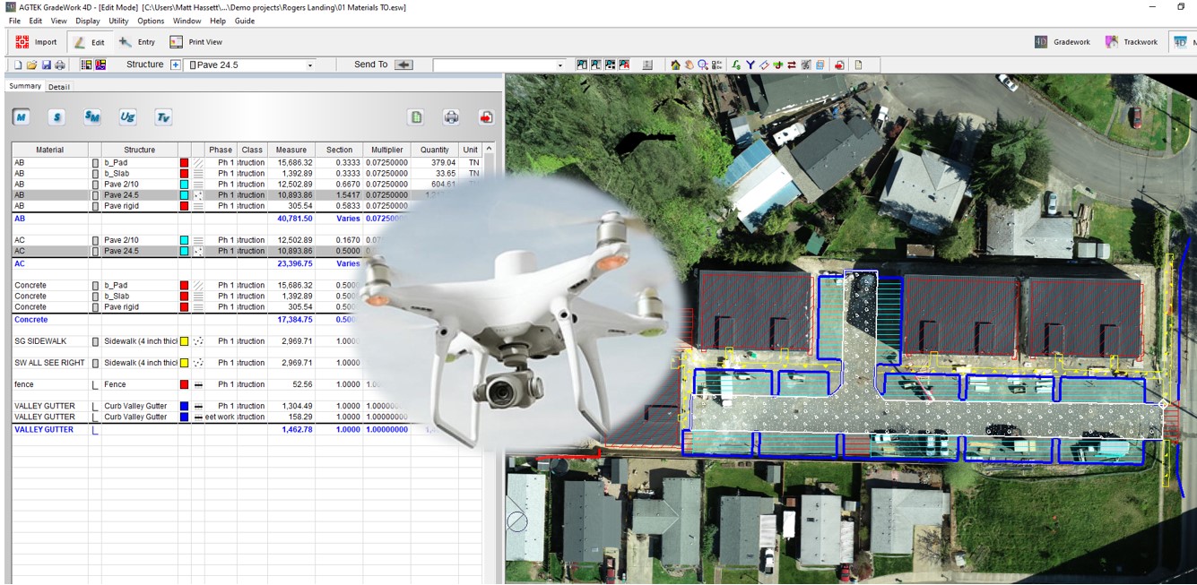
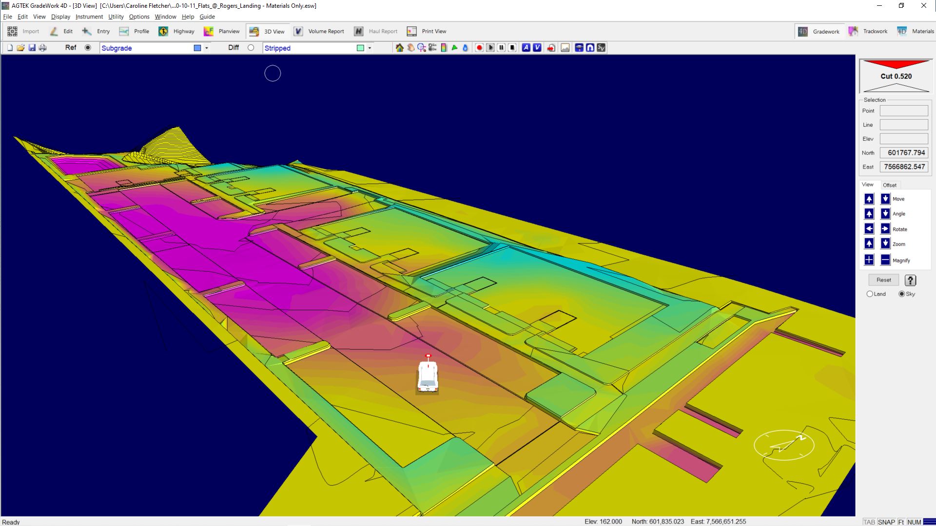
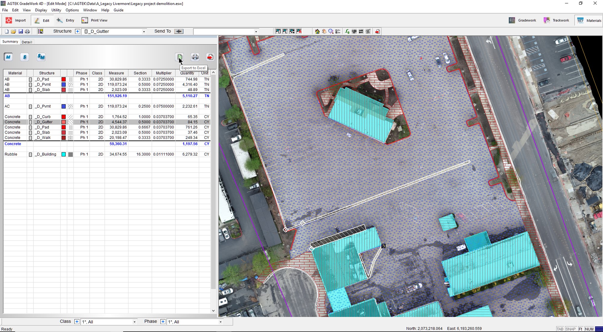
This webinar shows how to complete a materials takeoff and generate the reports for Google Earth, Excel and Mobile Apps. Learn how to import CAD files for modeling existing and design. We show how to apply materials to the design to create a subgrade surface for volume calculations. We show how to export the models for use with machine control.
Watch the video here.
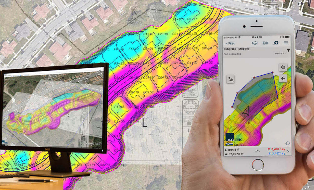
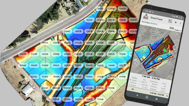
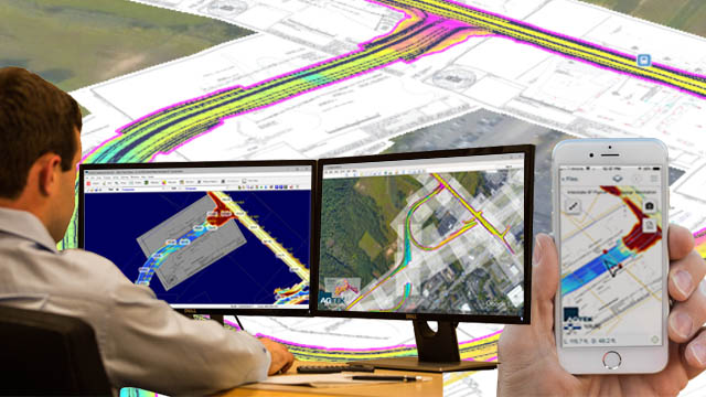
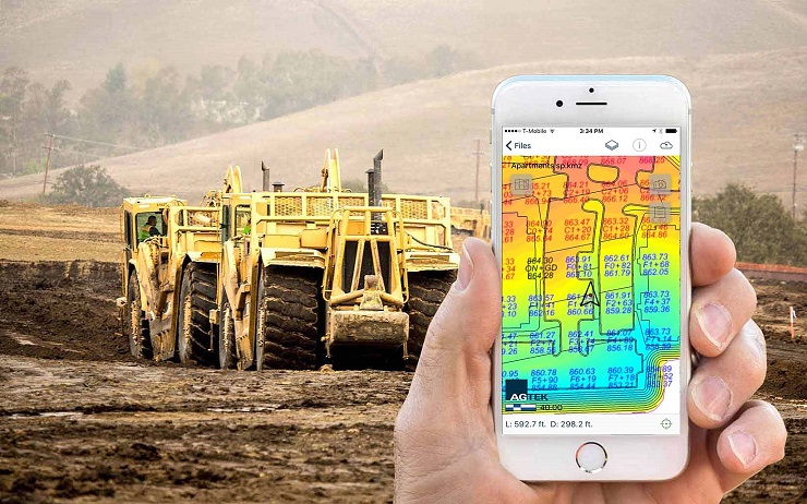
Learn how to maximize the value of your takeoff data by sharing with stakeholders, tracking construction progress, and utilizing data in the field to improve outcomes. You will see how all users can leverage this information to make better and faster decisions, improve bidding, and build faster and more accurately.
Watch the video here.
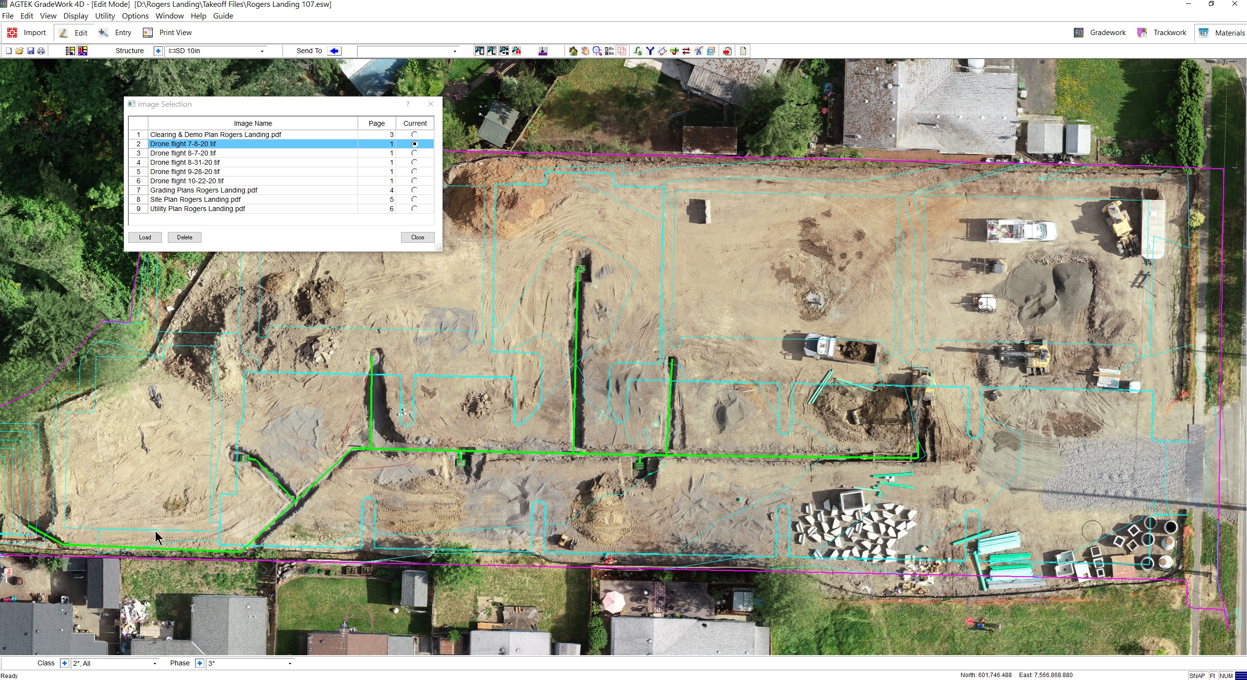
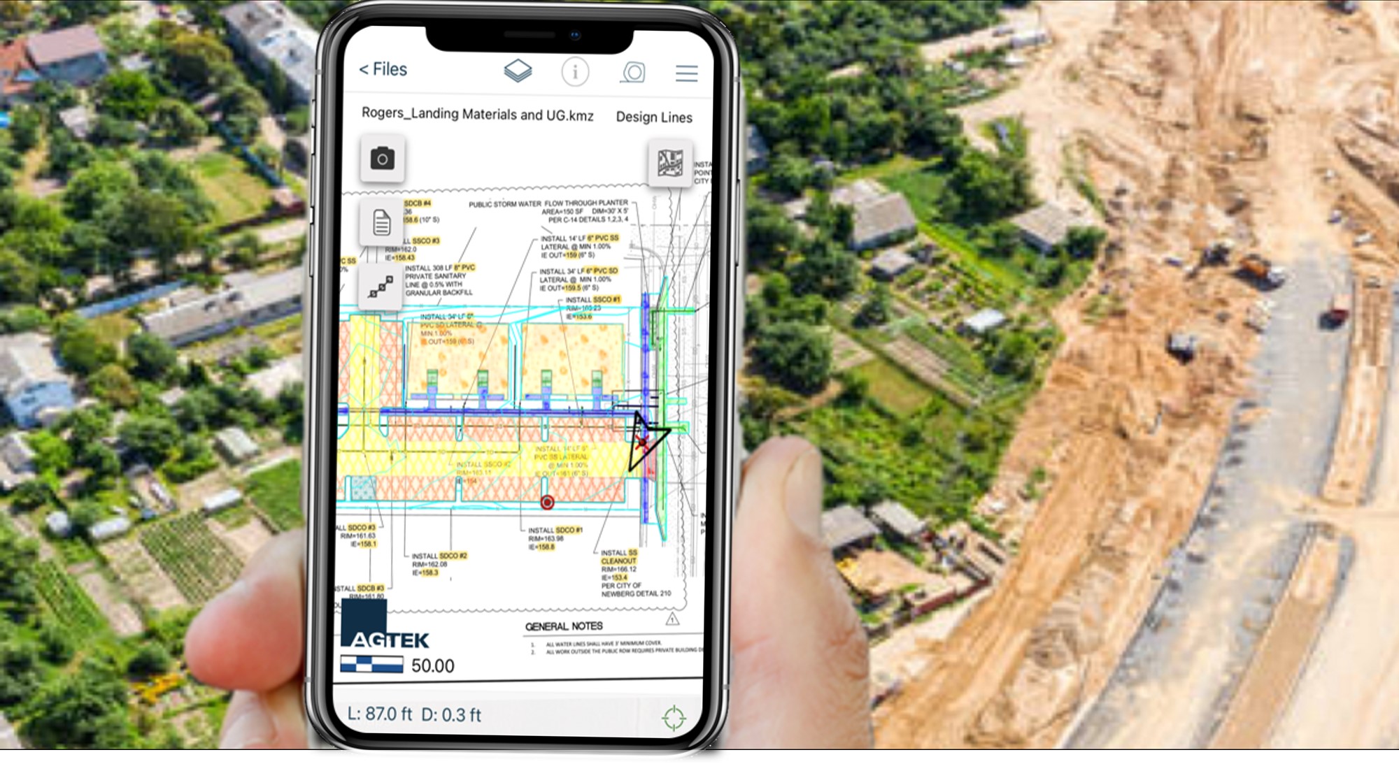
This webinar previews new features from version 1.09. Overview an integrated process for faster takeoff. We show how to work with your drone files, verify topos and update quantities. We also show how to make your phone or tablet a powerful on-site tool
Watch the video here.
This webinar introduces the launch of the AGTEK Community, the fastest way to access the AGTEK knowledge base. The AGTEK Community offers training-tailored options to take you from beginner to expert. This webinar shows how to get fast answers from Tech Support or self-help options including tips and tricks.
Watch the video here.
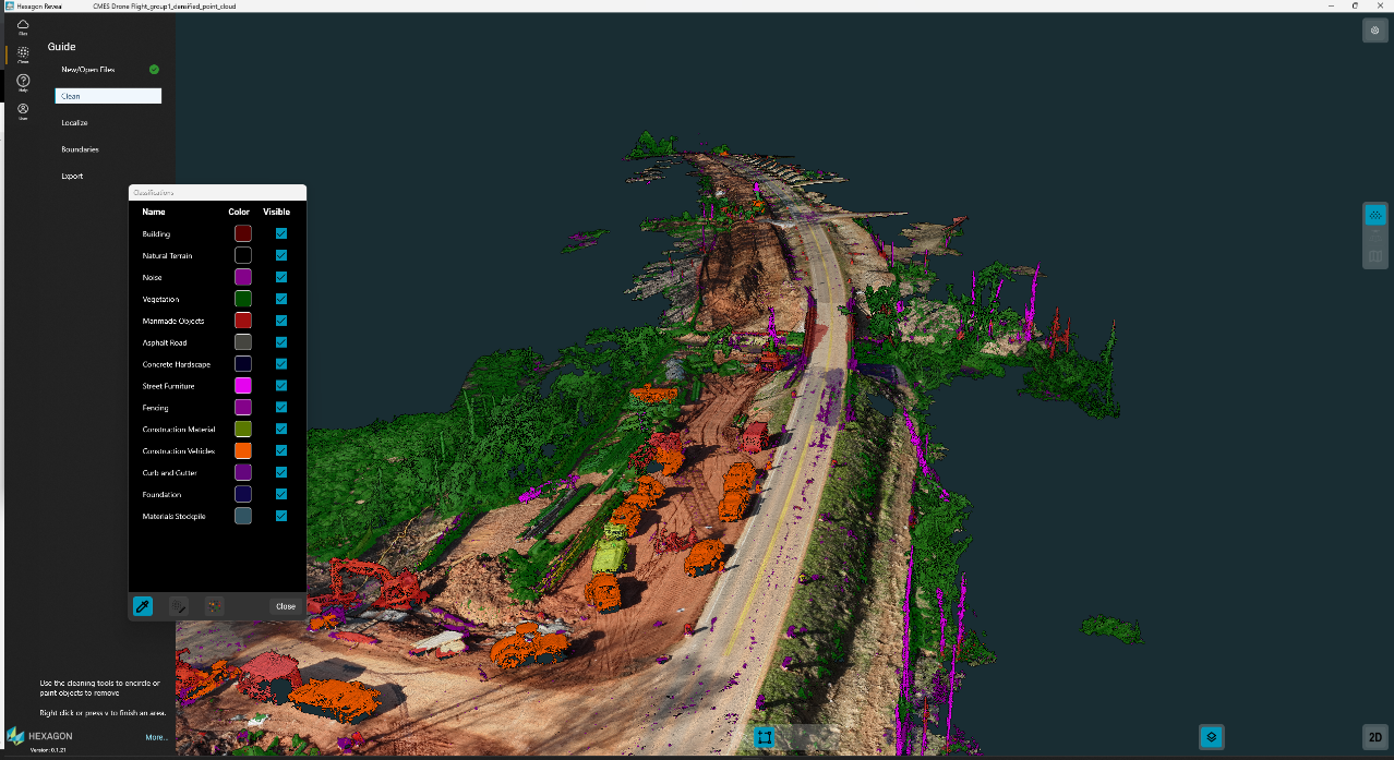
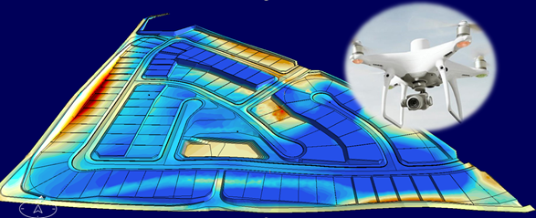
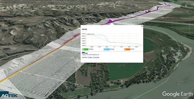
This webinar introduces Reveal and shows the simple guided workflow for point cloud classification. It shows the power of AI in the heavy construction environment. We show the process of aligning and verifying your data to support your entire project team. We show how import the data to Gradework and how to share the data with other systems.
Watch the video here.
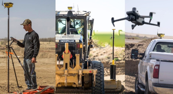
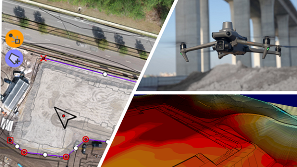
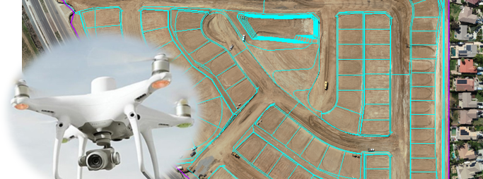
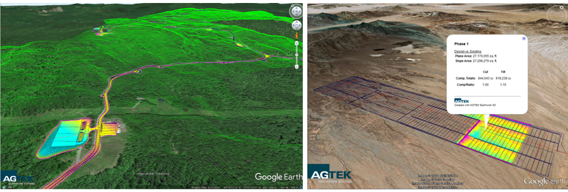
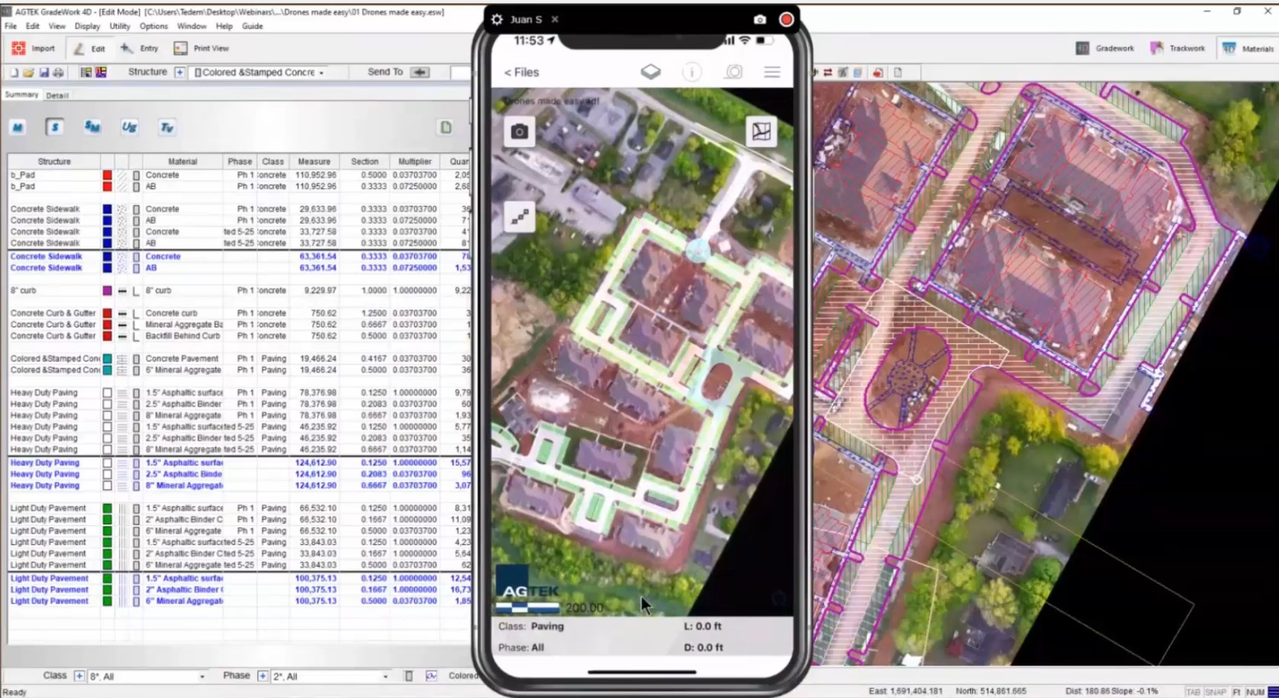
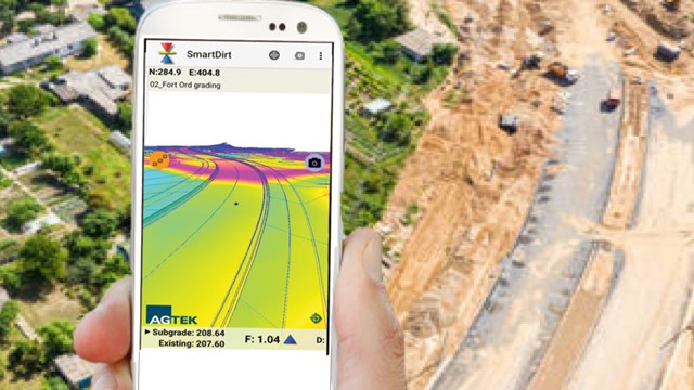
Improve your construction efficiency this year by leveraging models, drones, and phones. This webinar shows how these tools can help bid more accurately, track production efficiently, help the boots on the ground self-direct, and provide fast answers to common questions. This webinar shows you how to prepare your GPS model for the field. It shows how to get the most from your drone, and how to make your phone or tablet a powerful on-site tool.
Watch the video here.
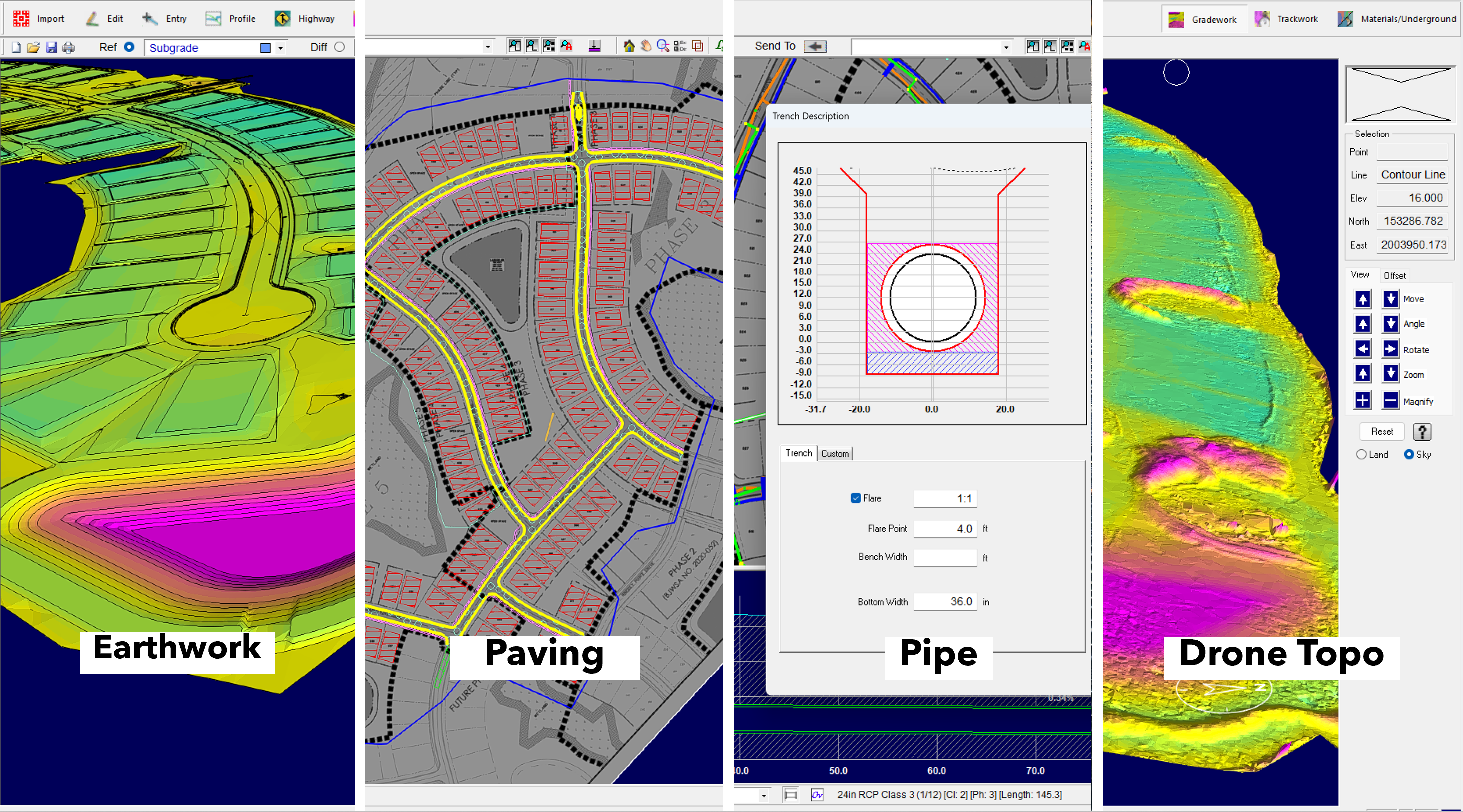
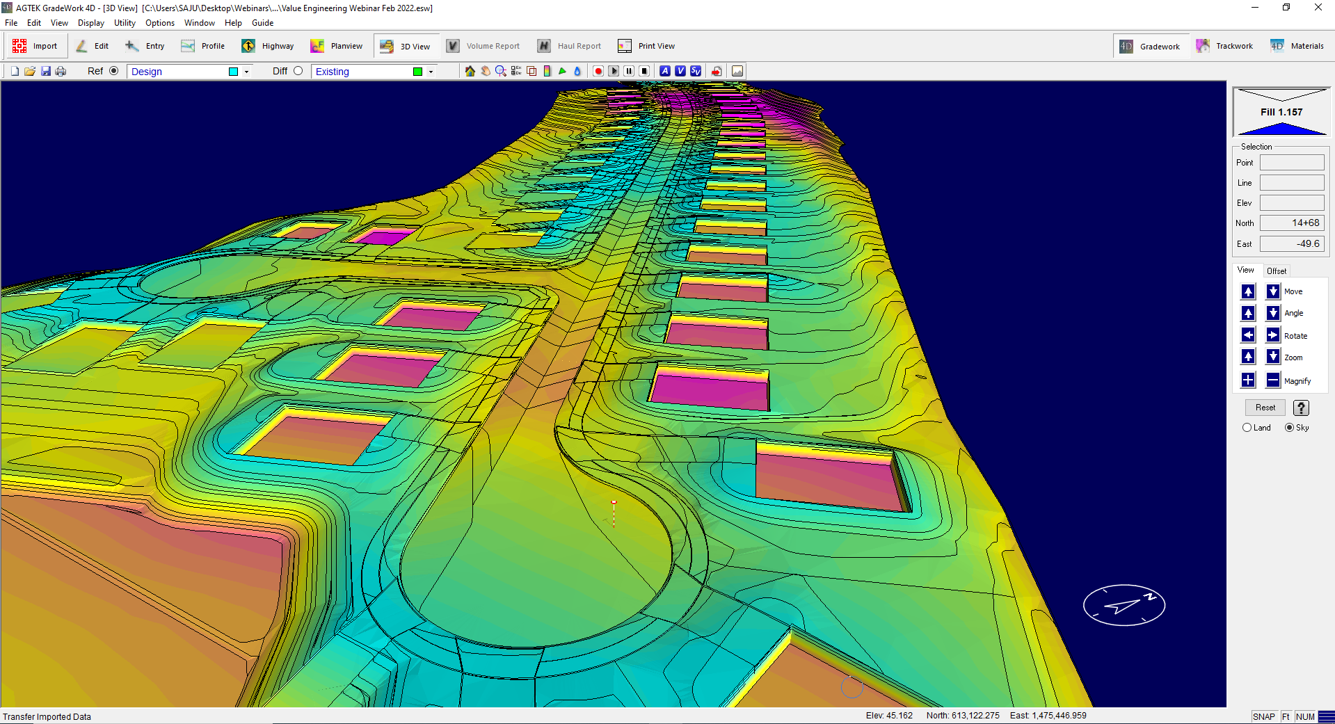
This webinar explores new features and enhancements to Gradework, Materials and Underground being introduced in early 2023. Designed to speed up work and enable greater analysis, we will look at real-world examples of how new features can be applied. Enhancements include improved workflows and analysis tools in Gradework. We show how to do faster takeoff’s with Materials first and advanced trench and pipe analysis with Underground. The new features provide greater coordination with new Mobile apps and google earth outputs.
Watch the video here.
When presented with limited information, AGTEK provides tools to quickly and accurately understand project constraints, create a constructible model and submit an accurate bid. This webinar demonstrates how to understand project feasibility and optimize the design with value engineering. We show how to minimize import/export and understand material quantities and create compelling bidding documents.
Watch the video here.
This webinar shows how to use Materials first and only ever enter data once. We show how to calculate earthwork volumes and get to subgrade with ease. We will help you understand utility construction and avoid pipe conflicts. We show how to evaluate bid alternates with value engineering, and create engaging and professional bidding documents.
Watch the video here.
In this webinar, we will explore new features and enhancements in Gradework, Materials, and Underground, all designed to speed up work, streamline processes and improve analysis capabilities. You will see takeoff and modeling improvements, tips, and tricks. We show major enhancements to Underground to minimize project risk and collaborative tools to solve problems in the field.
Watch the video here.
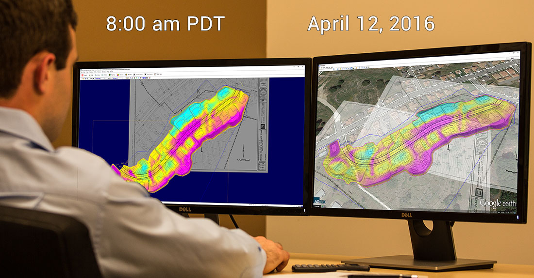
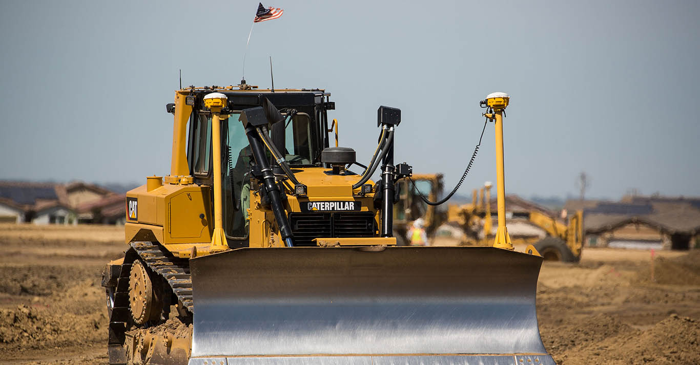
This webinar shows how to create fast and accruate machine control models. We show how to export models to Leica, Topcon, Trimble and other systems. We show how to leverage data in the field to make better decisions, and close the loop, providing feedback on progess.
Watch the video here.
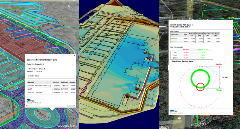
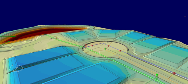
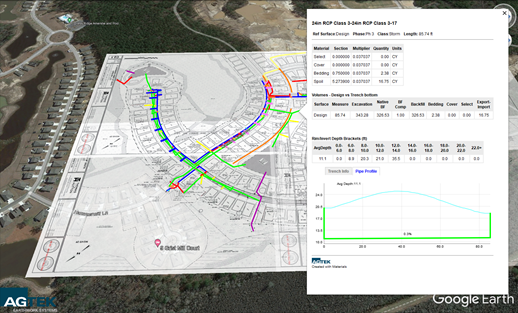
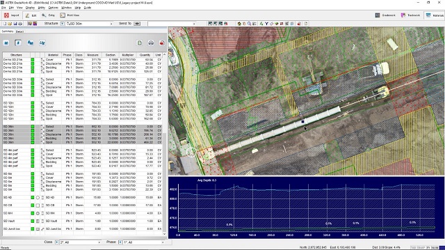
This webinar shows how to anaylyze pipe conflict locations. We show how to analyze trench backfill and strata excavation quantities. Display pipe lengths in user-defined depth brackets. We also show how to determine blast rock locations.
Watch the video here.
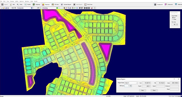
This webinar shows how to optimize and document various stages of construction. Analyze over-excavation to make data driven decisions. Combine Earthwork, Materials and Underground data for optimal results.
Watch the video here.
This webinar shows how to optimize and document various stages of construction. Analyze over-excavation to make data driven decisions. Combine Earthwork, Materials and Underground data for optimal results.
Watch the video here.


 Contact Us